Great Wall Aerial Photos
Below are some aerial photos of the Great Wall of China.
Before good satellite images of China were available, I used to spend a lot of time looking for aerial photos of the Great Wall. They were not easy to find. Here are a few of the ones that I did find. I tried to take a few of my own with little success. Commercial airlines don't fly very low over the Great Wall.
 Near Huangtulingguan in Qinhuangdao, Hebei
 Huangyaguan in Tianjin
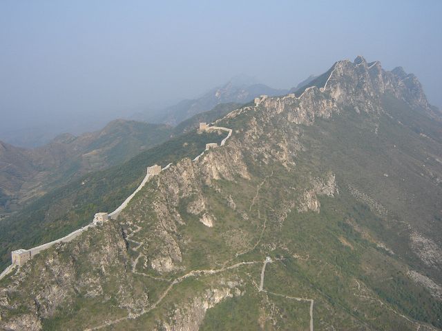
 Jiankou
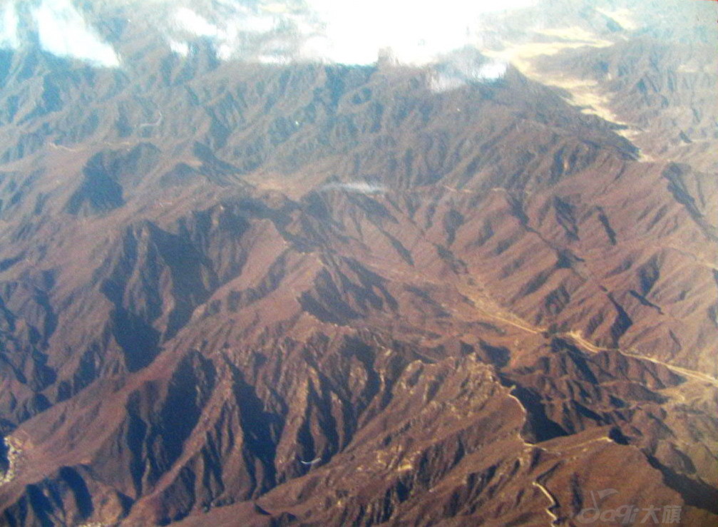
 Gubeikou and Jinshanling
 Juyongguan
 Aerial photo of Laolongtou Old Dragon's Head near Shanhaiguan
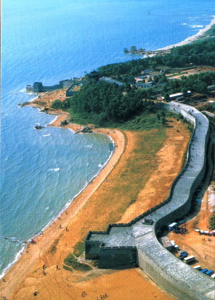 Aerial photo of Laolongtou Old Dragon's Head near Shanhaiguan
 Simatai
 Jiayuguan
 A photo of the Simatai reservoir before the bridge was built.
 From the Badaling museum, an aerial photo of the Ox Horn Wall area between Mutianyu and Jiankou

 Simatai Great Wall Parasailing photo
 Huanghuacheng
 Huanghuacheng
 Huanghuacheng

Jiankou viewed from the east. At the bottom is Niujiaobian. Just above it is Zhengbeilou. In the center of the picture is Beijingjie, the Beijing knot. To its left is Yingfeidaoyang. At the top are Moshikou and Xiangshuihu.
 Taken while flying from Zhangjiakou to Beijing
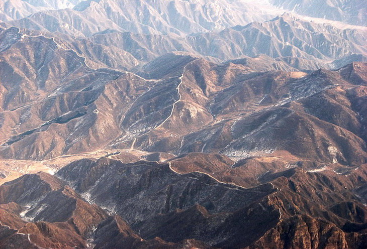 Taken while flying from Zhangjiakou to Beijing
 Shuitoucun

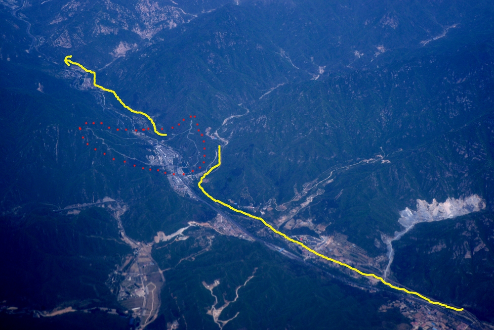
That's Juyongguan. Here's a marked image to orient you - yellow is the train track and the red dots are just outside the wall.
You need to know what you are looking for, but I've spent (too much) time looking at the GWF map and hiking down there so I could see what this is:

That's the area where Chenjiabu is.
Here's a closer view:

In the marked image below, C = Chenjiabu village, SX = Shixiaguan, yellow lines are the roads, red dots the wall. GT = General's Tower,
a place Beijing Hikers like to go. And if you look carefully under the several red dots on the upper ridge, you'll see the string of beacon towers that are there.
Just north of the General's Tower you can see the line of the (I believe) Bei Qi wall.

Heading west the plane passed over the High Tower and Dayingpan.

You can see the wall along the red dots. GT = General's Tower at Chenjiabu, HT = High Tower above Huangtaizi, RT = the radio/TV tower above Changyucheng and DYP is the pass below Dayingpan.

In this last image, you can see the wall running south from Dayingpan, straight down the middle of the photo, past Hengling (out of shot, at the right about halfway down) towards Zhenbiancheng (ditto).

 Longquanyu area
 Xishuiyu and the wall between there and Huanghuacheng
 Flying right over the Huanghuacheng Ox-horn. The wall continues east (right) up Jiugongshan
 Moshikou - Beijing Knot. Moshikou in center frame.
The high point is the Little Beijing Knot and the side spur runs down.
Center right is the Beijing Knot, and top right is Jiuyanlou.
The white blob top right is the fort just west of Jiuyanlou
 Jiankou ridge and Mutianyu