Hiking from Gubeikou to Jinshanling
Hiking from Gubeikou to Jinshanling is a very good choice, but this route does have some issues, such as the detour around the military area, and so preparation is required.
 Leave the main road here and go east along this side road (40°41'55.5"N 117° 9'30.5"E)
 Exit the road and take this trail on the right (40°41'54.5"N 117° 9'46.5"E)
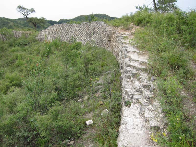
 The bricks have been removed from the western parts of the Great Wall and all that remains is this.
At first the remains of the Great Wall are too narrow to walk on and you should walk alongside
The bricks have been removed from the western parts of the Great Wall and all that remains is this.
At first the remains of the Great Wall are too narrow to walk on and you should walk alongside
 Here you can begin walking along the top of the Great Wall.
 Soon you will find places where bricks are still in place
 There will be more places where you must walk alongside the Great Wall
 Soon the Great Wall will be more intact and you can walk along the top almost all of the way
 A typical view of the Panlongshan Great Wall, an excellent place to hike!
 These signs denote the beginning of the military area. (40°41'34"N 117°12'7"E)
This section of the Great Wall is closed and you must take a detour on the north side. It is very helpful to have a GPS or a guide to help you to not get lost as you will encounter branches in the paths and you need to take the correct path.
 Path through a valley
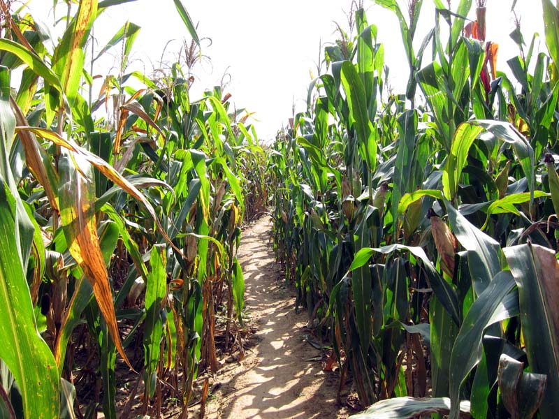 Path through a corn field
 First view of Jinshanling / Simatai
 Here the path rejoins the Great Wall, although it continues alongside for some distance
 As you hike alongside the Great Wall you will be rewarded with views like this one
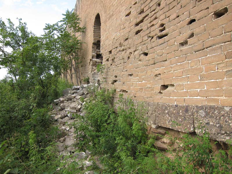
 At the end of the bypass you will go through a tunnel to the south side of the Great Wall,
and then you will turn around and walk west for a short distance. (40°40'51.53"N 117°13'37.74"E)
At the end of the bypass you will go through a tunnel to the south side of the Great Wall,
and then you will turn around and walk west for a short distance. (40°40'51.53"N 117°13'37.74"E)
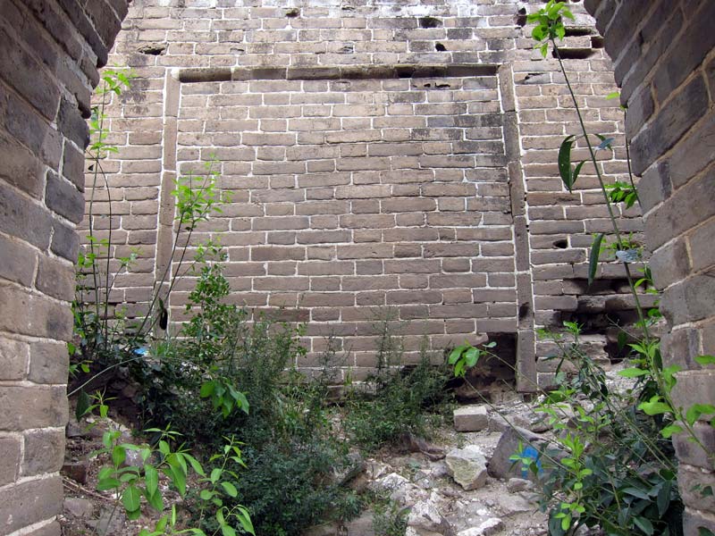
 Here is where you can climb back up onto the Great Wall (40°40'52.0"N 117°13'37.2"E)
 View of Jinshanling and, in the distance, Simatai, from the top of the Great Wall
 Xiwuyanlou, West five-eyed tower, the beginning of the Jinshanling section of the Great Wall
 Elevation profile for hike from Gubeikou to Jinshanling